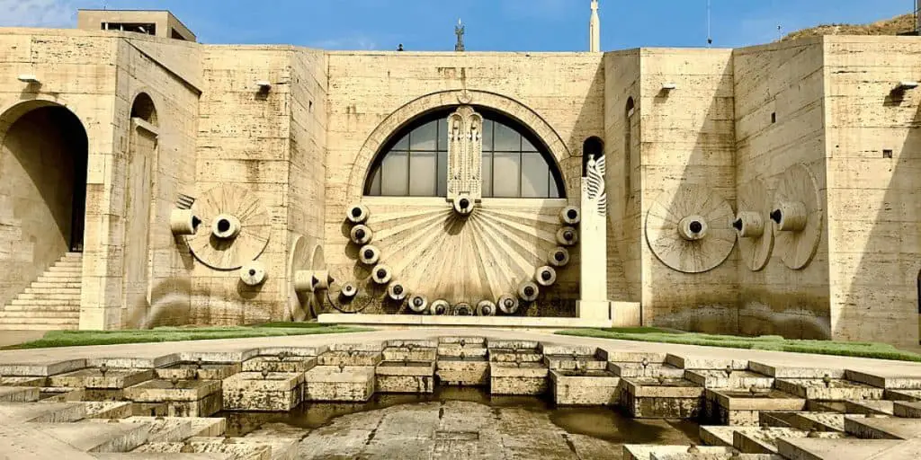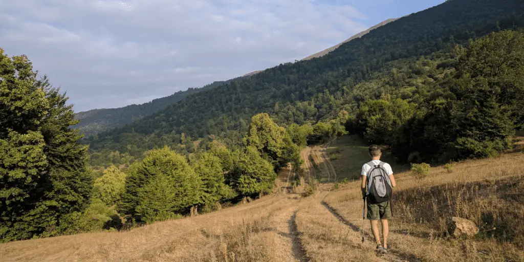
While there are many other reasons to visit Armenia, there is one having a special place among them: hiking in Armenia. Gorgeous mountainous scenes, monuments of historical significance, freshwater springs, ravishing valleys and canyons – Armenia is the best with its spectacular hiking trails. The nature offers a variety of hiking destinations for both beginner and experienced hikers. You’ll definitely find something to your taste. And when you do, don’t forget to share your hike with me on on Instagram or Twitter, with #ArmeniaTravelTips.
How to choose a hiking destination in Armenia?
As Armenia has quite a lot to offer in terms of difference of elevations, distances, scenes and the level of difficulty, you can’t just pinpointing a location on the map and start packing. First, decide for yourself what you want to experience. If the thought of climbing up a rocky volcanic mountain and having breathtaking views on the summit makes your heart beat faster, then you might want to consider visiting the highest mountain in Armenia, Aragats. If you want to experience a more relaxed hike amid fresh and humid forests with overwhelmingly pure air and sunbeams peeking through trees, Dilijan National Park might be your thing. And there’s always something in the middle, so whatever your desire is, there is surely something for you.
In case you want to hike with your dog, Armenia has all the regulations for bringing your dog with you. So, no worries about your favorite pet.
Where to hike depending on the season?
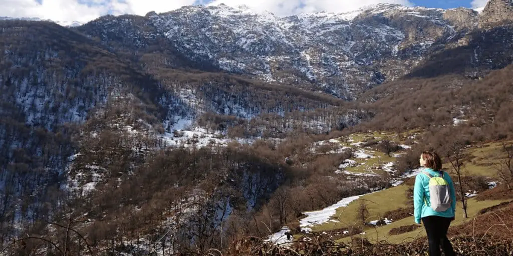
Armenia is a mountainous country, but even in places with varying elevation most hiking trails are available and possible to hike throughout the year, except for just a few high elevation destinations reaching which can be problematic if the roads are closed during the wintertime and not advised because of weather conditions. Other than this, there is usually no issue picking a hiking destination and getting to the starting point. Just make sure to check pictures to know what the place looks like in that season.
Pro tip! Always check the weather forecast for the upcoming 5 days, the RA Ministry of Emergency Situations updates the information every day.
Hiking in Armenia: Distances and Durations
While Armenia is a relatively small country geographically, you still need to carefully plan your trips beforehand. There are two main reasons for this: road conditions and lodging availability for longer trips. You see, distances are not as long, even to the remote parts of the country, but moderately bad road conditions can unexpectedly double the planned duration of a trip and you might even find yourself exhausted from the drive amid a road with no available lodging nearby. So it’s better to ask locals for fresh info on road conditions and advice on accommodation options for remote regions.
Hiking alone and in groups
During the recent years tens of hiking clubs and initiatives have emerged in Armenia. Most of them have pre-scheduled group hikes for days off (state holidays and commemoration days) and weekends during every season. And of course there are groups offering individual guiding, even off-road tours and extreme adventures.
Here is a short list of Instagram profiles of some companies that offer hiking tours:
If you are a relatively beginner hiker and still want to hike alone or with a group of non-locals, make sure you have all necessary gear, connectivity options, saved hotline numbers and essential offline apps and maps downloaded and installed beforehand to avoid unpleasant happenings. Locals are always eager to help out when needed, but sometimes there can be a communication issue. Most locals fully understand and can speak Russian, and almost no English, luckily, offline digital translators are widely available. Get all of this prepared in advance.
Zooming in on popular hiking trails in Armenia
Syunik – Armenia as it is
Region: Southern part of Armenia, Syunik Province
Nature: High mountains, dense forests, canyons, natural rock formations
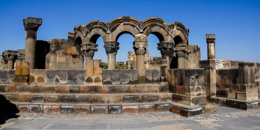
Landmarks: Abandoned villages, Christian monasteries, archaeological sites, fortresses, waterfalls, sanctuaries, old bridges
Attractions: Aerial tramway, caves, a suspended bridge
This is the only region of Armenia that is home for the most diverse flora and fauna, landscapes, breathtaking viewpoints, and natural wonders. From climbing mountains and birdwatching to exploring caves and abandoned villages, Syunik is the single most spectacular province that never fails to surprise, even at your 100th visit. And for sure, most of the wonders are truly experienced on foot only.
To see all 220 (yes, 220!) available trails in Syunik check this page: Top hiking destinations in Syunik. This website uses publicly available data uploaded by hikers, and it’s possible to follow the trails on the map and record your own hiking.
As this region was once a powerful spiritual, economical, cultural and educational hub, so, naturally, almost all hiking trails pass through and cross with famous venues of great importance.
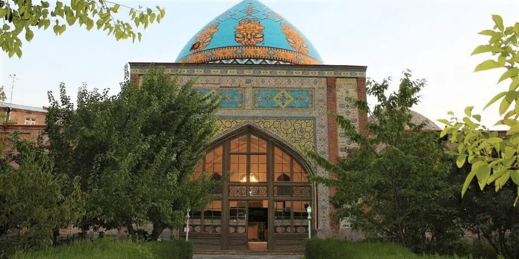
Tatev
A bright example is Tatev Monastery complex, where the hiking route begins. Tatev Monastery is in the UNESCO tentative list of historical sites and hasn’t been granted full protection yet. If you want to check all UNESCO sites in Armenia, check my dedicated post with helpful tips. Maybe soon Tatev will be in the list, too.
To reach Tatev Monastery complex you need to take an aerial tramway, which is the longest non-stop double track cable car in the world with a length of 5.7 kilometers (3.5 miles). Your next destination after the Monastery is the winding Vorotan gorge. Vorotan River and ancient dwellings lie in the scenic canyon of Vorotan. Next comes the Devil’s Bridge, which has been named so because of its unknown origins of creation. The bridge has a width of 60 meters and a height of 30 meters. You will pass through a picturesque forest and natural water springs where it is even possible to swim. The beauty of nature and the scenic view of Tatev make this an Armenian hiking destination you must not miss.
Tavush – finding the Zen in the chaos
Region: Northeast, Tavush Province
Nature: Mountainous and rocky hillsides covered with Alpine meadows, mountain springs, mineral water sources, small lakes, a national park of humid forests
Landmarks: Monasteries, fortresses, waterfalls, old bridges
Attractions: Ecotourism, zipline, rock climbing, rope jumping
Famous for its dense forests, monasteries, and lakes, Tavush region is another great choice as your next hiking destination in Armenia. There are quite many hiking trails that vary in difficulty giving everyone a possibility to hike. Most trails of the available 335 recorded ones are a part of Dilijan National Park. I have earlier published a post on Things to do in Dilijan National Park. If Tavush is going to be your destination, make sure to read it first.
On your path, you will discover the beauty of the region’s flora and fauna as you will see lots of animals, birds, herbs and plants. The harmony and calmness of nature will make you forget all the challenges you typically face in an urban environment, clear your mind and recharge yourself. Hiking in this region of Armenia may become the best way to find your Zen.
Lastiver
One of the picturesque hiking destinations in Tavush is Lastiver. The hike to Lastiver starts from Yenokavan Village, about 140km away from the capital city Yerevan. The trail duration is just 1 hour, the technical level is the easiest to hike. The trail takes you down to the gorge where a lively mountain river flows creating mid-size waterfalls. Once you see small wooden houses on the trees, then you know you have reached Lastiver.
Apart from one of the most beautiful waterfalls, the other must-see thing is the Cave, a two-story structure located in a flat slope of the canyon. The cave is also known as Lastiver Anapat (or Lastiver Desert). Lots of sculptures can be seen on the walls of the cave, the author of which is unknown. The Cave itself is a viewpoint toward the waterfalls.
Takeaways on hiking in Armenia
While hiking in Armenia may be a super exciting idea, it is easy to ruin your hike if you are not prepared properly. Below is the list of tips to get the most of your hike:
- Choose a trail with the right difficulty level for you
- Check the weather, so you know how to dress
- Pack some essentials including food, water, extra clothing, and first aid items
- Wear the right shoes and socks so that the pain won’t ruin your hike
- Dress synthetic clothes for comfort, preferably with layers so that you can adjust them to the weather by adding or taking them off as needed
- Stop and take a break once in a while; that way, you won’t lose all your energy before you reach the end of the trail
- Don’t forget taking pictures at viewpoints, but try to be more mindful, memorize details, listen and be attentive
Whichever destination you choose, all will come down to a single thought: hiking in Armenia is a great adventure. So take the chance, hike a great trail and don’t forget to share best pictures with me on twitter/instagram with #ArmeniaTravelTips. I’d love to see the story of your hiking trip. And by the way, if you are seeking fun adventures right in Yerevan or nearby, my blog post on horse riding in Yerevan might help.
Featured image credits: @meginnie